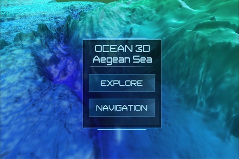
Ocean 3D - Aegean Sea
Discover Ocean in a 3D enviroment! Works OFFLINE.
FEATURES
- Terrain and Bathymetric data for Aegean Sea.
- GPS Coordinates Latitude, Longitude and Altitude (Decimal Degrees or Degrees,Minutes,Seconds).
- Depth Units (Meters, Feets, Fathoms).
- Measure Distances (Meters).
- Speed of Vessel (kilometers/hour, miles/hour, knots).
- Bearing of vessel in degrees.
- Current Depth at Vessel position (OFFLINE).
ACCURACY
- Ocean 3D uses the EMODnet digital terrain model (DTM) and has been created at a resolution of 0.125 arc-minutes using the best available bathymetry from a variety of sources. There are still a lot of areas where no high quality bathymetry is available. To prevent gaps in the EMODnet DTM layer, these areas have been filled with the GEBCO 2014 data.
- For Land Terrain, Ocean 3D uses the ASTER Global Digital Elevation Model (ASTER GDEM) with resolution of 1 arc-second (30 meters).
COVERAGE AREA
Top Left Coordinates
- Latitude: 43.55266
- Longitude: 23.34406
Bottom Right Coordinates
- Latitude: 30.64256
- Longitude: 29.79911
More areas coming soon!
IMPORTANT INFORMATION
Although the bathymetry available is based on the best available bathymetry and every effort is made with respect to the quality assurance and quality control, it should be noted that, accuracy, completeness, reliability, usability or suitability of the bathymetry cannot be guaranteed. Therefore the data products available from this service are not to be used for navigation or for any other purpose relating to safety at sea. Ocean 3D, assumes no responsibility for incorrect results or damages resulting from the use of the data.


